Settled and mild weather for West Country Christmas
 John Wickes
Mostly dry, settled and mild weather will establish into the Christmas period across the West Country.
No snow or ice is expected, as temperatures settle a fair margin above average by Christmas Eve onwards.
High pressure will then stay close to the country for a few days as December draws towards a close, maintaining calm conditions across the region.
However, there are early signs that unsettled - and possibly colder - weather may return by around the New Year.
No white Christmas
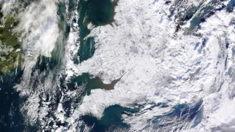
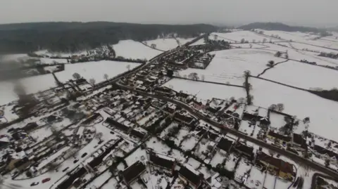
The last widespread white Christmas was in 2010, with plentiful lying snow and ice across the West Country - and indeed nationally - during December that year.
By contrast, the festive period this year will disappoint those wanting colder weather and snow.
Forecast computer models are in strong agreement that high pressure will build initially just southwest and then south of the UK, with a very mild source of air spreading east into the country later on Monday and into Christmas Eve.
The net result here will be maximum temperatures from Christmas Eve to Boxing Day probably ranging between 10 to 12 Celsius for the likes of Yeovil, Bristol, Gloucester and Swindon. For context, usually at this time in December about 7C or 8C would be more typical by day.
Christmas Eve may see 14C in a few West Country locations. The highest temperature recorded in England for Christmas Eve was 15.5C, in 1997 at Bude in Cornwall.
The nights across Christmas also look mild throughout the next few days, with no frost in the forecast.
 NASA
NASAWith high pressure dominating the wider weather pattern, it is looking dry or mostly so into the Christmas period here.
However, extensive low cloud, mist, hill fog and patchy light rain looks likely to develop through a warm front later on Monday and overnight into Christmas Eve morning. But overall, dry periods will be much more prevalent than anything damp during the Festive period.
Although very often cloudy, brighter or sunnier phases may also develop at times on Christmas Day and Boxing Day. Aside the potential for some periods of mist and murk, no severe weather is expected that could disrupt travel this week.
After the very windy weekend we have just experienced, thankfully winds will trend to become much lighter throughout the Christmas period. However, a risk of windier weather may return around the New Year.
Impactful weather may yet return
Despite the timely becalming of our weather for Christmas, the rest of winter may still bring further periods of disruptive rain, wind or both.
In the meteorological calendar used for recording the climate year-to-year, winter in the Northern Hemisphere comprises December, January and February.
Longer-range forecasts have tended to lean towards chances of wetter, windier spells becoming more likely further into this particular season - especially into February.
However, such forecasts are very different to the sort of day-to-day ones you might see on TV, or access through an app. They cannot pinpoint how the weather will unfold during any precise week or days at such longer time ranges. Instead, they serve to give - for example - scientists, government contingency planners, or energy providers a steer as to how conditions may depart from seasonal norms and indicate what overall types of broader weather patterns may dominate for the British Isles.
 Ian Fergusson
On a national level, this winter is expected to see temperatures overall lie somewhat above average and likewise, amounts of rainfall and windier spells are also expected to be above seasonal norms.
That does not mean some colder periods are impossible during the remainder of this winter. Far from it.
On that note, temperatures are expected to fall back towards average after the mild Christmas. Beyond that, some forecast modelling highlights a potential for colder shots developing from around New Year and during the first half of January, albeit of course that is nothing particularly unusual for the time of year.
But it is too early - for now - to have confidence in exactly how our weather will unfold for the New Year, including what sort of temperatures will prevail.
I will keep you updated.
Follow BBC Bristol on Facebook, X and Instagram. Send your story ideas to us on email or via WhatsApp on 0800 313 4630.
